
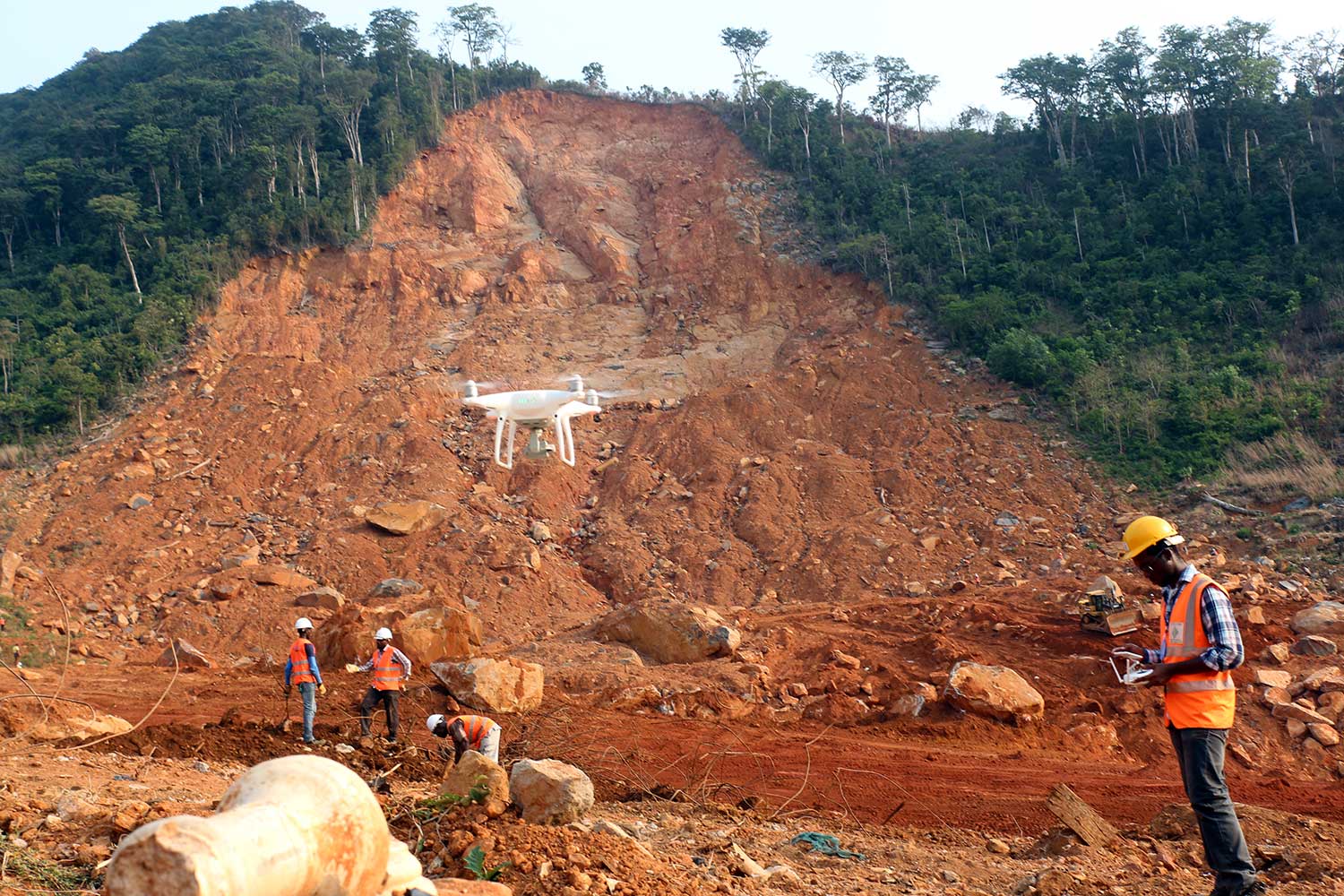
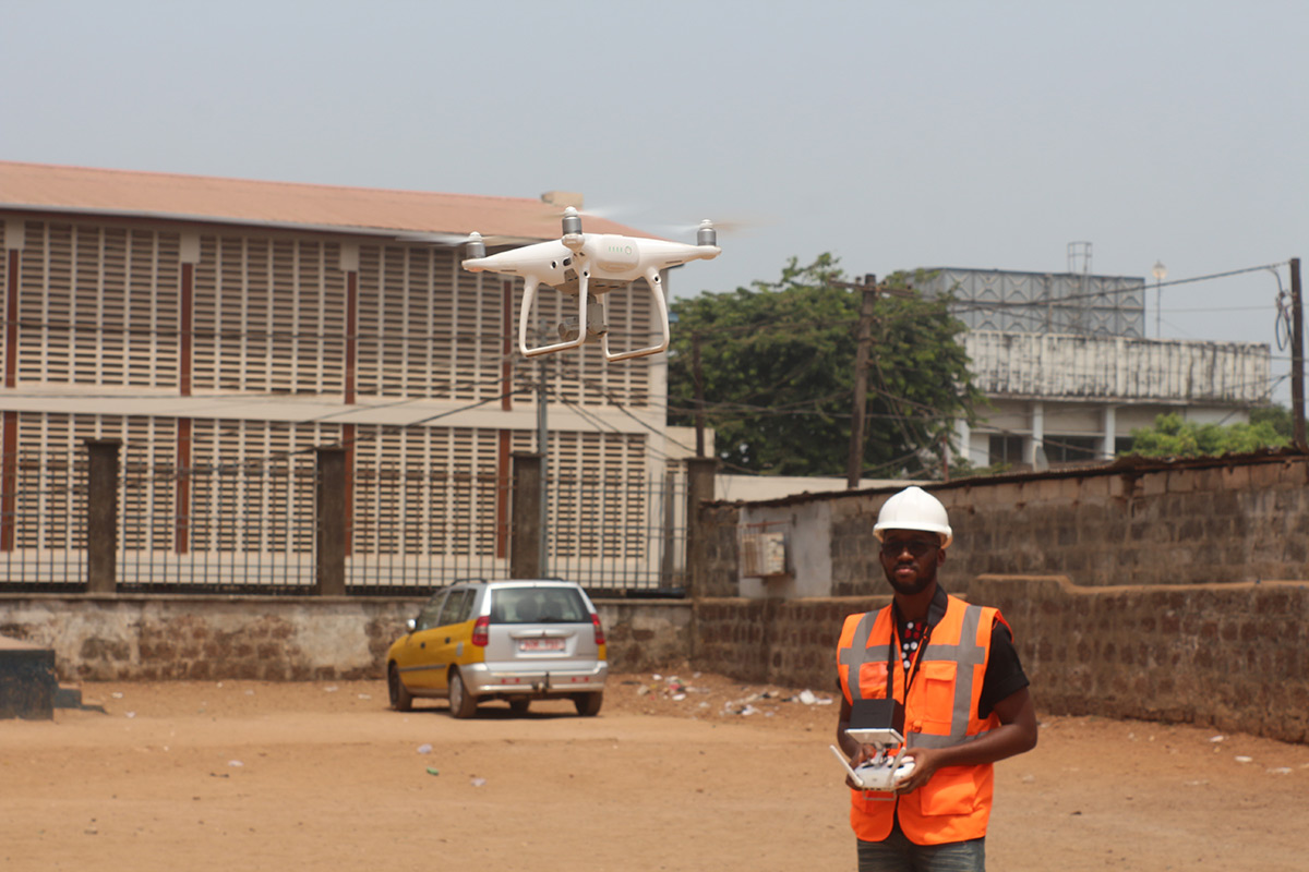
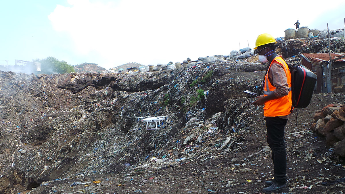
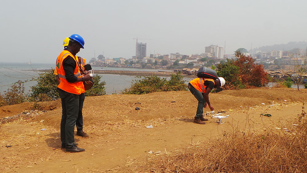
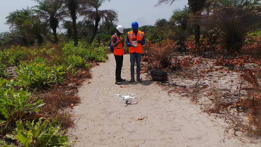
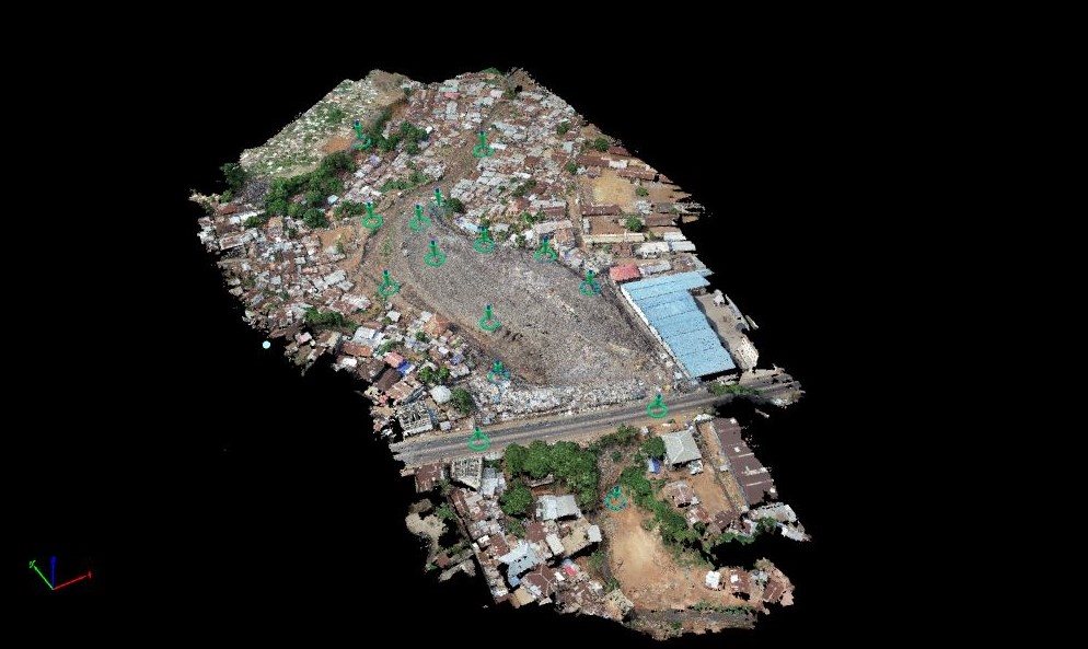
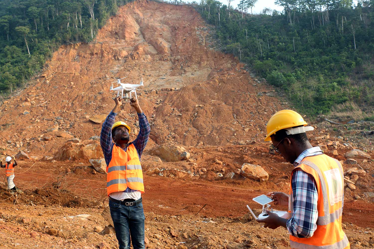
Aerial Survey and Drone Mapping
We offer aerial mapping and topographic mapping services through the use of drones for various applications. We provide real-time, high-resolution and actionable data, information, videos and photos to produce quality survey-grade mapping results, eliminating the need to wait for weeks or months to get traditional ground survey results.
Our fully licensed, insured and experienced pilots use the latest drone technology to create 2D & 3D visualizations, take measurements and perform calculations on volumes of large areas in an efficient manner (faster turnaround time, lower cost and more detailed modelling of sites)
We provide Aerial Drone Applications and Services in :
|
 |
 |