Geo-Information Management
We provide cutting-edge geo-information management services and solutions that can be tailored to specific requirements to help all sizes and types of organisations in a range of sectors to make better use of geographical information to aid their decision making and deliver real benefits
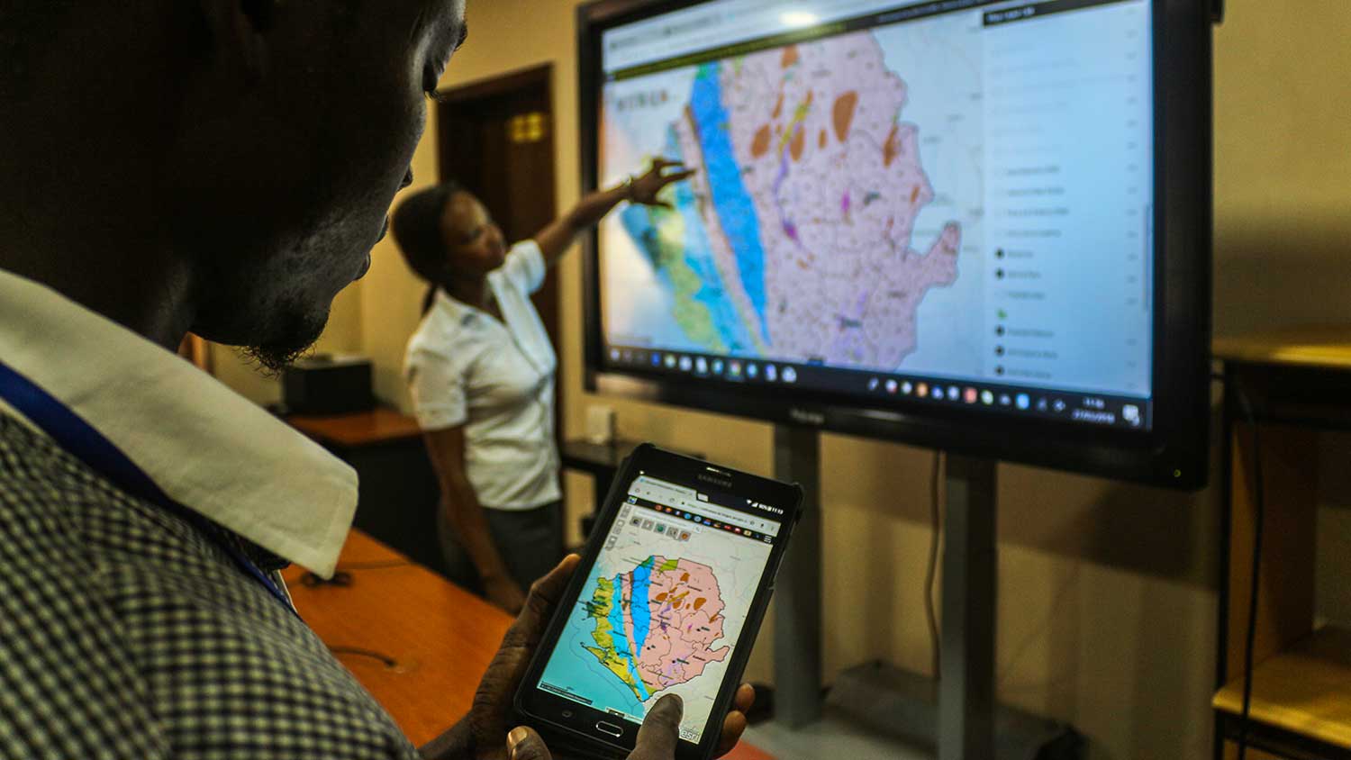
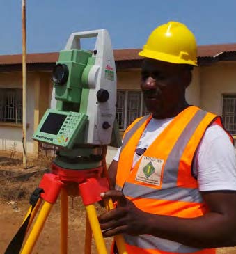
Geographic Information Systems (GIS) Consulting Services
|
 |
We power up GIS and add it to traditional ICT systems to enhance business processes, cut costs, lower risks, solve real challenges, increase benefits and create opportunities for growth and sustainability.
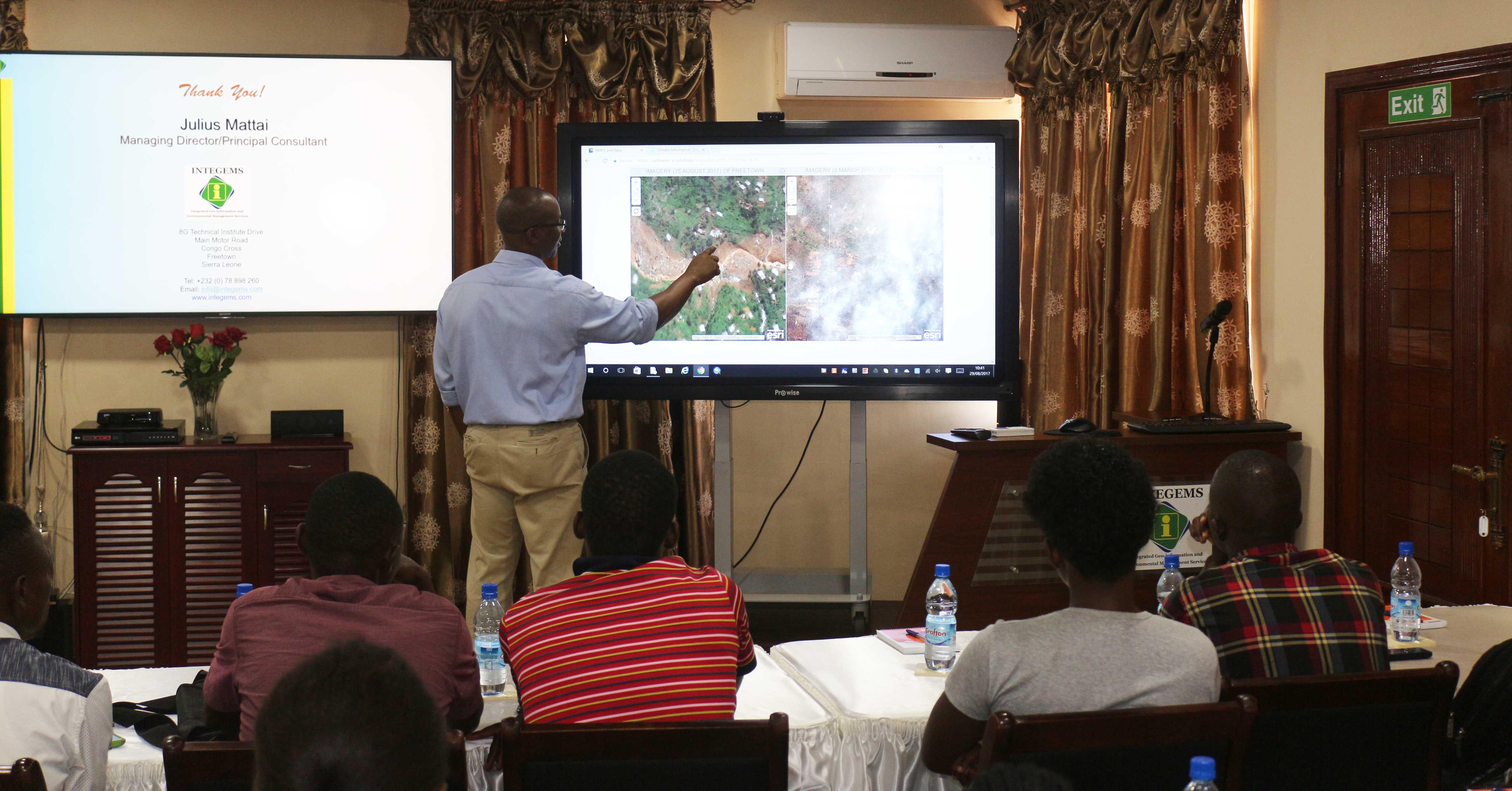
Remote Sensing Consulting Services
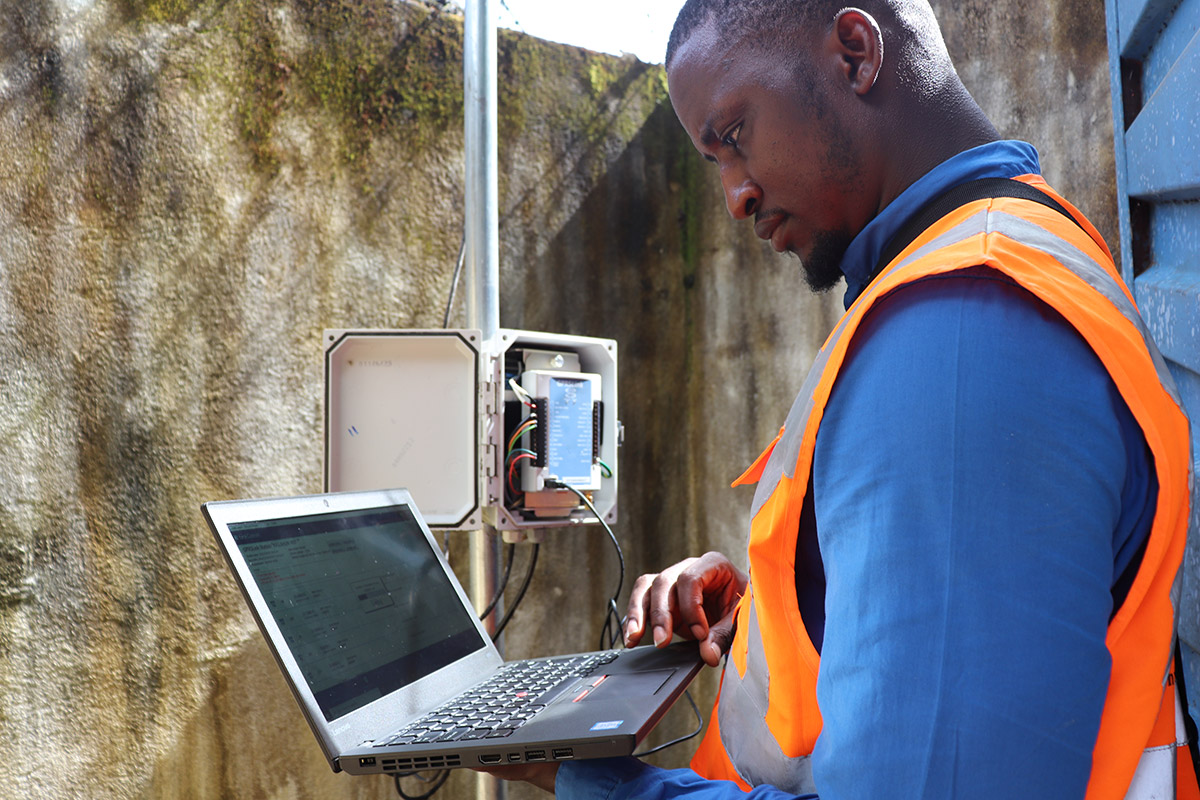
We integrate GIS with satellite and airborne remote sensing technologies for land cover/land use change detection, spectral analysis and image classification to manage and analyze data for natural and man-made resources management, environmental monitoring, climate change, and disaster risk management
 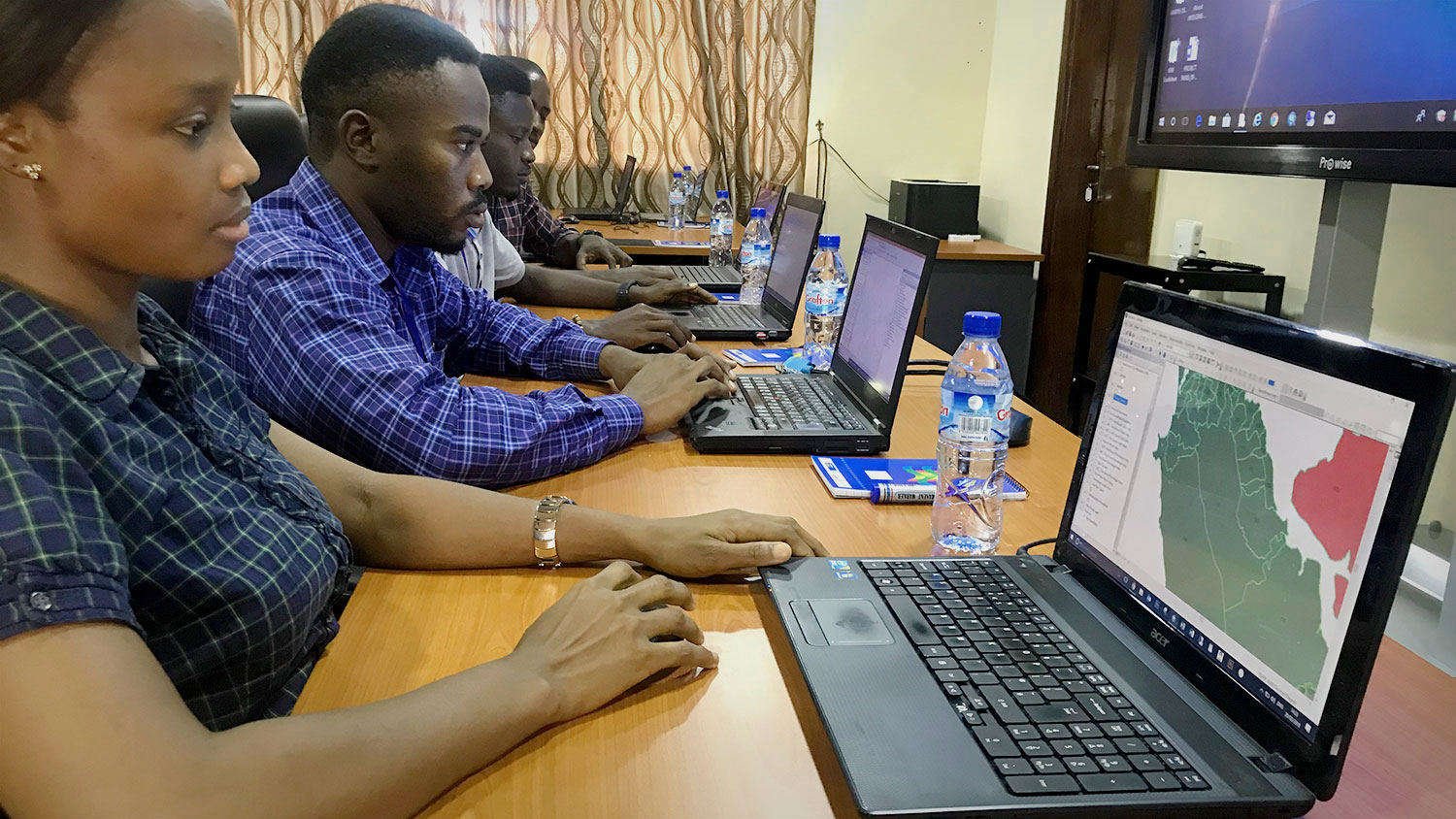 |
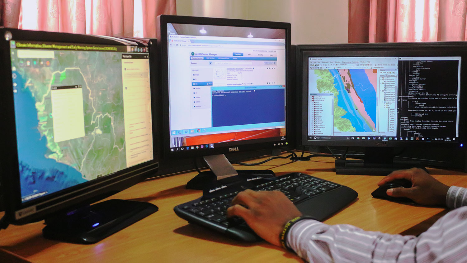
We use various commercial and open source GIS, Remote Sensing and Database tools:
|